Univerus Baragar Systems
School Boundaries Online
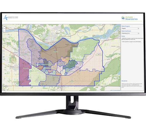
Baragar’s School Boundaries Online gives school districts a clear and interactive way to communicate catchment areas to families, staff, and the community. Designed for accessibility and precision, our maps help users easily explore which schools serve each neighborhood — whether for the current year's boundary, an approved future boundary or a 'what if' scenario soliciting feedback.

Boundaries Made Clear
Baragar’s School Boundaries Online allows districts to visually communicate their current, future, and proposed boundaries without relying on static PDFs. These tools are used by leading districts to support public consultation, improve communication, and make school assignments more transparent.
Interactive and Easy to Use
Users can explore school catchments directly from your website with a map-based interface.
-
Zoom and pan to explore neighborhood zones
-
Click on a property to reveal school assignments
-
Supports mobile and desktop use
-
No work or maintenance by district staff required


Multi-Year Boundary Comparison
Display current, future, and/or proposed school boundaries to allow stakeholders to easily envision changes
-
Remove uncertainty for users including parents, staff, and members of the public such as realtors
-
Engage your stakeholders in transparent boundary change processes.

The Benefits
Transparent, Accurate, and Community-Focused

Improved Community Engagement
-
Support open and informed discussions during boundary reviews and consultations.

Consistent Information Sharing
-
Ensure everyone—from the board to district staff to the public — is working from the same boundary data.

Fewer Questions, Faster Answers
-
Empower stakeholders to explore boundaries independently, reducing incoming inquiries.

A Trusted Tool for Communication
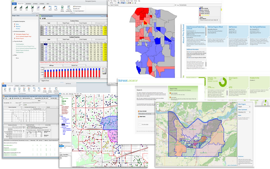
Baragar’s School Boundaries Online are part of a larger suite of planning tools trusted by over 100 school districts. When integrated with School Locator, they provide a full-spectrum solution for communicating school assignments and visual boundary information clearly and accurately.
Our Solutions


